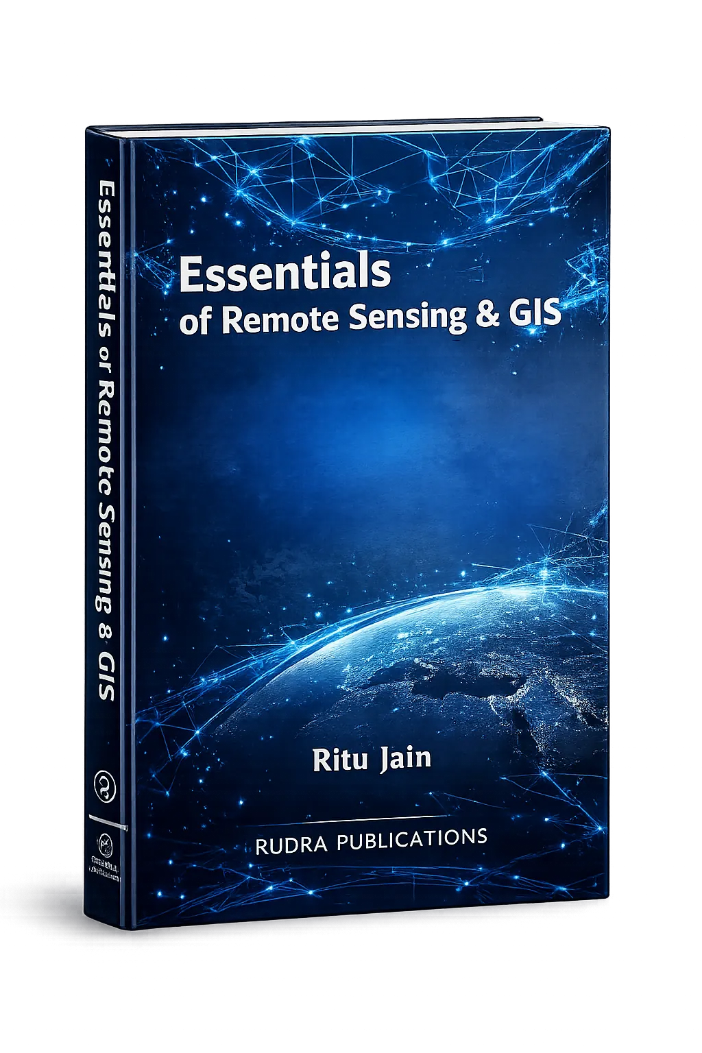
✦ About the Book
Essentials of Remote Sensing & GIS is a contemporary academic text authored by Dr. Ritu Jain, designed to introduce students to the fundamental concepts and practical applications of Remote Sensing and Geographic Information Systems (GIS).
The book provides a clear understanding of geospatial technologies that are increasingly used in environmental monitoring, urban planning, disaster management, and resource management.
Structured for university-level learners, the book bridges theoretical concepts with practical geographic applications.
✦ Core Areas Covered
This book introduces the key concepts of modern geospatial technologies, including:
- Fundamentals of Remote Sensing
- Electromagnetic Radiation and Energy Interaction
- Satellite Systems and Sensors
- Image Interpretation and Analysis
- Geographic Information Systems (GIS)
- Spatial Data Models and Mapping
- Applications of Remote Sensing in Geography
- GIS Applications in Environmental and Urban Studies
The content is organized to build both conceptual understanding and analytical skills.
✦ Academic Significance
This book is particularly useful for:
- B.A. / B.Sc. Geography Students
- M.A. / M.Sc. Geography Learners
- Remote Sensing & GIS Students
- Environmental Studies Scholars
- Competitive Examination Aspirants
It provides a strong foundation for students entering the field of geospatial technology and spatial analysis.
Publication Information
- Author: Dr. Ritu Jain
- Department: Geography & Remote Sensing GIS
- Institution: National P.G. College, Lucknow, U.P., India
- Edition: First Edition (2024)
- ISBN: 978-93-6013-311-5
- Publisher: Rudra Publications, Ghaziabad (U.P.)
✦ Why This Book Matters
With the growing importance of satellite technology, spatial data analysis, and GIS-based decision-making, this book equips students with essential knowledge required for modern geographic research and planning.
It serves as a practical and theoretical guide for understanding geospatial tools used in environmental management, urban development, and sustainable planning.